Southern Africa Federation of the Disabled (SAFOD)
2016-2019: AT-Info-Map Assistive Technology Mapping Project
I led assistive technology mapping in Southern Africa as manager of the AT-Info-Map Project. The Google Impact Challenge funded this work. We built a mobile app and web database that show where to find assistive technology in ten countries.
The problem
In Southern Africa, 85–95% of people who need assistive technology cannot get it. AT-Info-Map closed this information gap. It connected people with disabilities to AT already available nearby. It helped providers and disabled people’s organisations (DPOs) find unmet needs. It also showed suppliers and manufacturers where demand exists.
The solution: assistive technology mapping across ten countries
The Google Impact Challenge funded AT-Info-Map. This three-year project ran from 2016 to 2019. Our assistive technology mapping covered ten countries: Angola, Botswana, Eswatini, Lesotho, Malawi, Mozambique, Namibia, South Africa, Zambia, and Zimbabwe.
What my team and I did
Here’s what the assistive technology mapping work involved:
Mobile App Development
We built a mobile app for rehabilitation officers, social workers, and DPOs. It lets them find AT suppliers and service providers nearby. Users can also submit new listings from the field. Get it on Google Play.
Web Database Development
Our online database mirrors the mobile app. The public can browse it or use the GPS map to find listings. Visit the AT-Info-Map database at atinfomap.org.
National AT Awareness Seminars
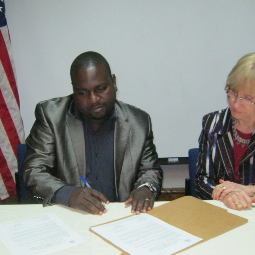
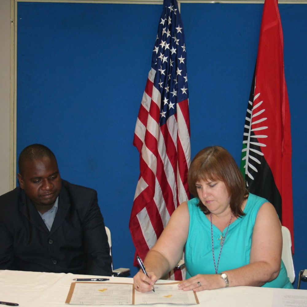
We held seminars in each country with DPOs. These built AT awareness among suppliers, policymakers, researchers, rehabilitation staff, and hospitals. This work sits alongside my related project, COVID-19 Impact on Persons with Disabilities in Southern Africa.
AT Guide & Research
We published an AT Guide covering device types and categories. We also published research on the policy, cost, and access barriers to AT in the region.
Results of the assistive technology mapping project
Our assistive technology mapping reached 10 countries across Southern Africa. We engaged national OPD partners in each country. We piloted the project in Botswana in 2016, then rolled it out regionally. We published our findings in the African Journal of Disability.
This project was part of my wider project management services, and it connects to my other work in my Digital Innovation portfolio, including the Inclusive Young Voices Project.